Getting Around Car-Free: BART, Bikes and Buses in Berkeley
Berkeley is one of the easiest places in California to live without a car. The Berkeley Earth Day festivals made a point of being reachable by BART, and the same is true of most events in the city. Here is how to get around.
BART
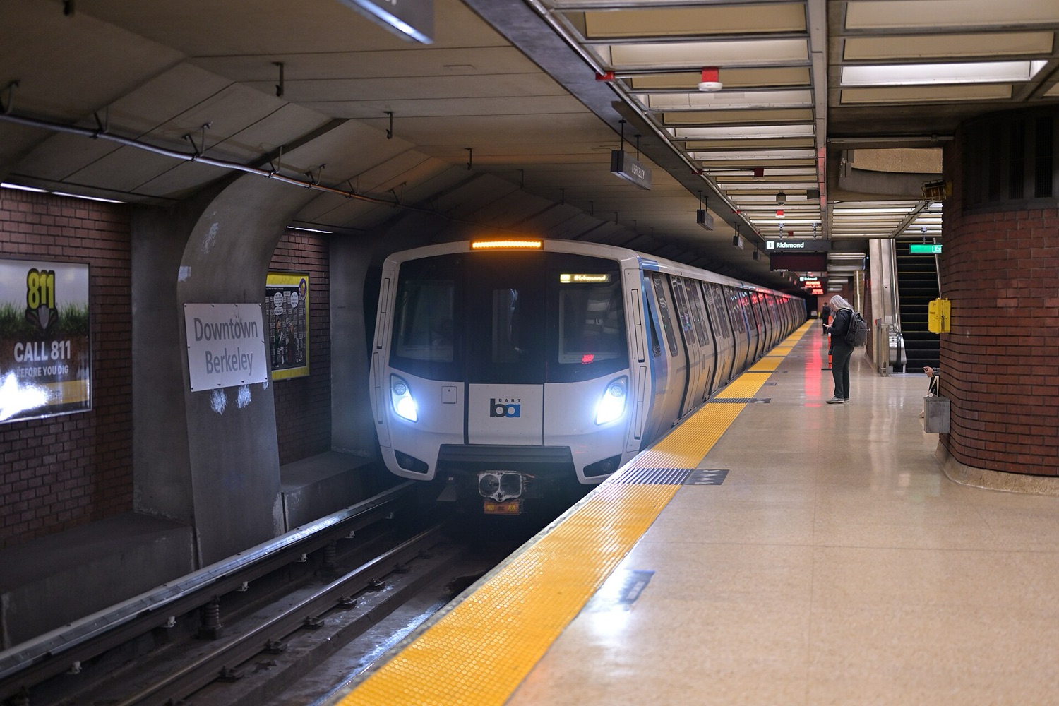
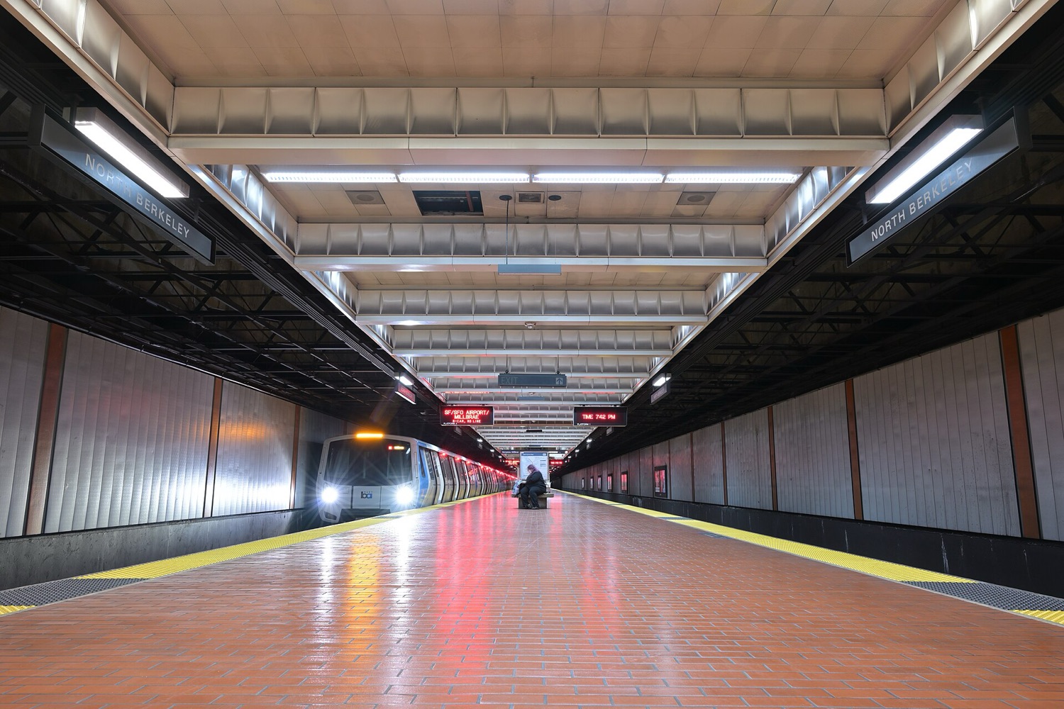
Three BART stations serve Berkeley:
| Station | Best for |
|---|---|
| Downtown Berkeley | Downtown, the UC Berkeley campus, Shattuck Avenue and events around the Civic Center and the David Brower Center |
| North Berkeley | North Berkeley neighbourhoods and the Ohlone Greenway |
| Ashby | South Berkeley, the Ashby flea market area and Adeline Street |
All three are on the line between Richmond and the rest of the system, with direct trains to Oakland and, at most times, to San Francisco. Pay with a Clipper card or Clipper on your phone. BART stations have elevators, and the system publishes elevator status online, which is useful if you use a wheelchair or travel with a stroller.
Buses
AC Transit runs local and transbay buses across Berkeley, including frequent routes along major streets and transbay buses to San Francisco. Buses are wheelchair accessible and carry bikes on front racks.
Biking
Berkeley has a network of bike boulevards, quieter residential streets marked for cyclists, plus off-street paths:
- Ohlone Greenway: a walking and cycling path that follows the BART line north from North Berkeley towards Albany, El Cerrito and Richmond.
- San Francisco Bay Trail: shoreline routes along the Berkeley Marina and Eastshore State Park.
- Bay Bridge path: on the eastern span, a path for people walking and biking runs from Oakland to Yerba Buena Island.
Bay Wheels bike share has stations and e-bikes in Berkeley. Bikes are allowed on BART trains except where signs say otherwise; check BART's current rules before rush hour.
Trains beyond the Bay
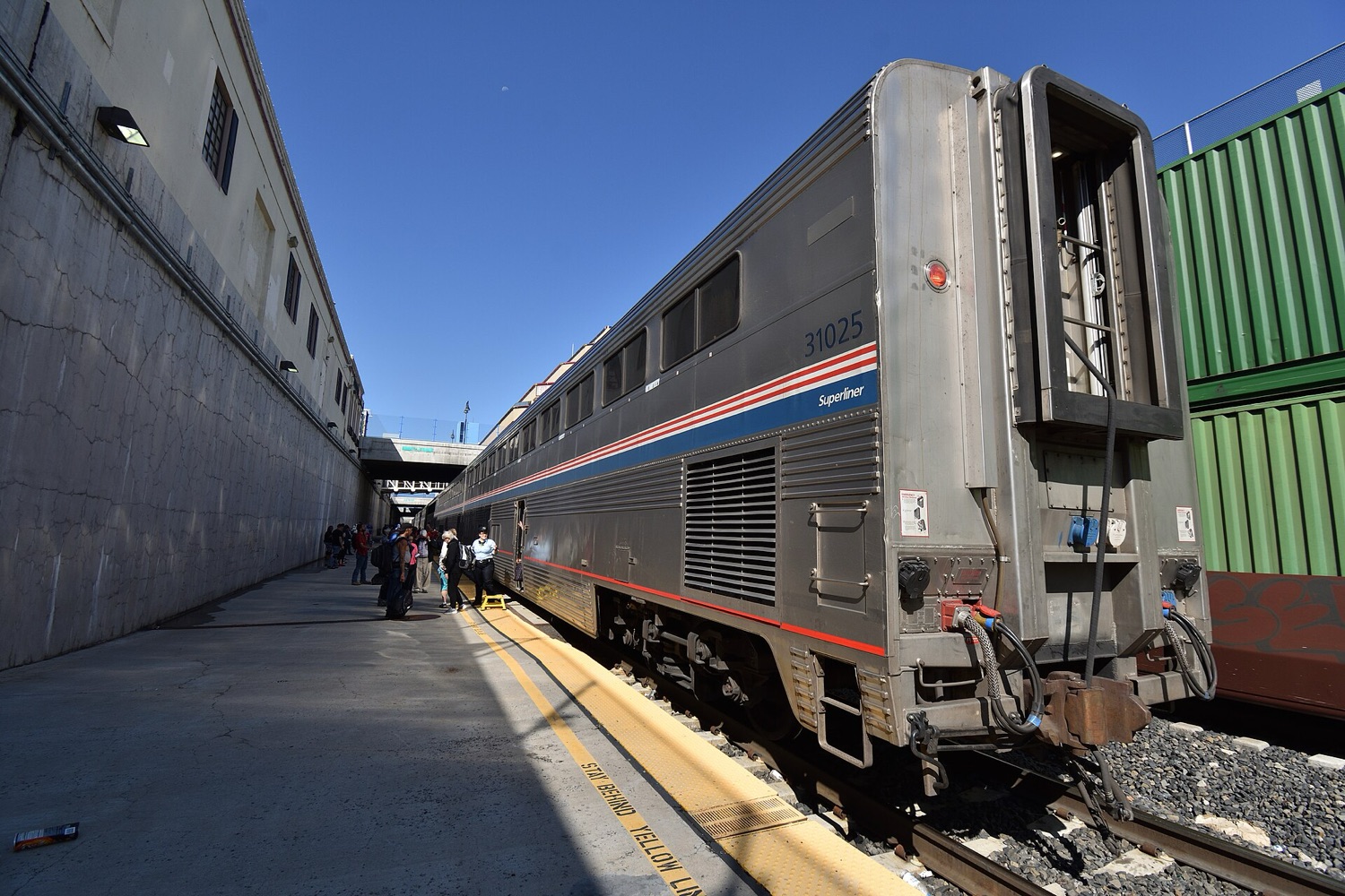
Berkeley has its own Amtrak station near the shoreline, served by the Capitol Corridor to Sacramento and San Jose. Emeryville, a short ride away, is the Bay Area stop for the California Zephyr, which crosses the Sierra Nevada to Reno and continues to Chicago. For a weekend in Reno or Truckee, whether for hiking, skiing or a night at the casino tables, the train is a relaxed, low-carbon alternative to driving over Donner Pass.
Tips for events
- Check event pages for the nearest station and whether there is bike valet parking.
- On Sundays, Berkeley's metered street parking is free, but spaces near big events disappear fast. Transit is quicker.
- Carry water and layers: Berkeley weather can swing from foggy morning to warm afternoon.
- Plan accessible routes in advance; our accessible events checklist has more.
Car-free Berkeley cheat sheet
- Trains
- BART: Downtown Berkeley, North Berkeley, Ashby
- Buses
- AC Transit local and transbay
- Bikes
- Bike boulevards, Ohlone Greenway, Bay Trail, Bay Wheels
- Payment
- Clipper card or mobile Clipper
- Regional rail
- Amtrak Capitol Corridor; California Zephyr from Emeryville
Leaving the car at home is one of the biggest changes most of us can make. Read more in sustainable living tips for the Bay Area.